01/ The coast
Tamarindo and Playa Grande

01/ The coast
Tamarindo and Playa Grande
02/ Pacific rhythm
03/ The beach
Playa Tamarindo
04/ The estuary
05/ In the water
Tamarindo
06/ Toward Langosta
Playa Langosta
Tamarindo · Costa Rica
Unfolding the map…
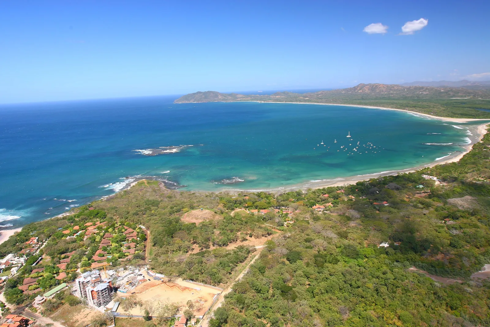
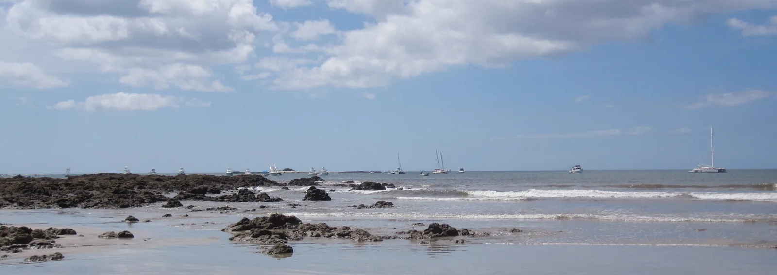
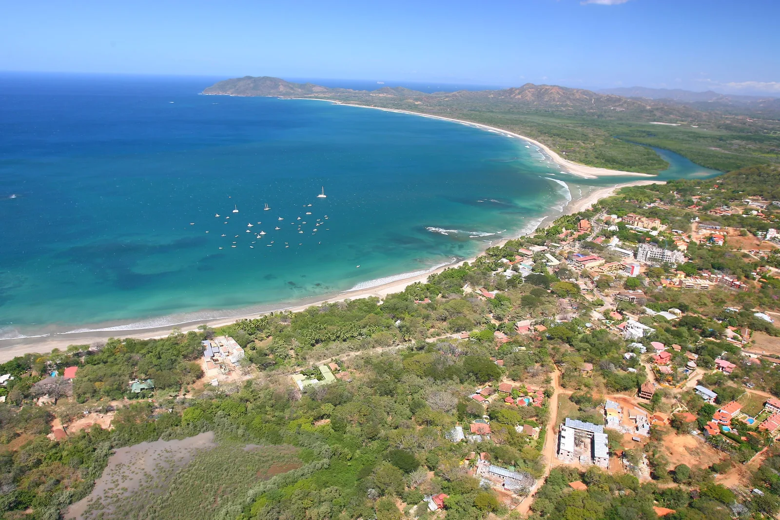
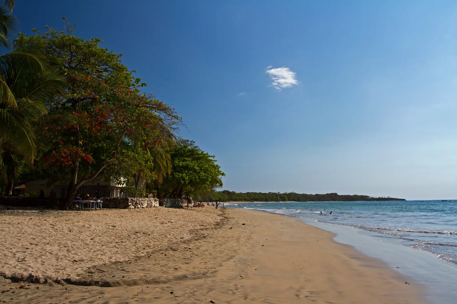
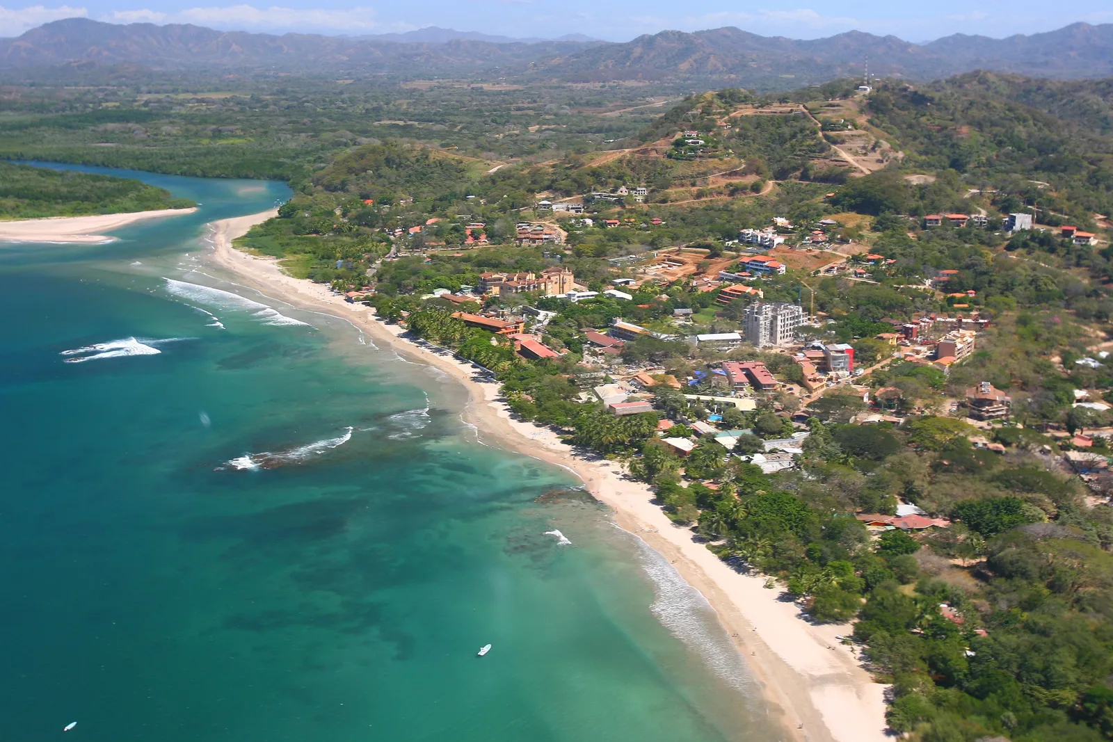
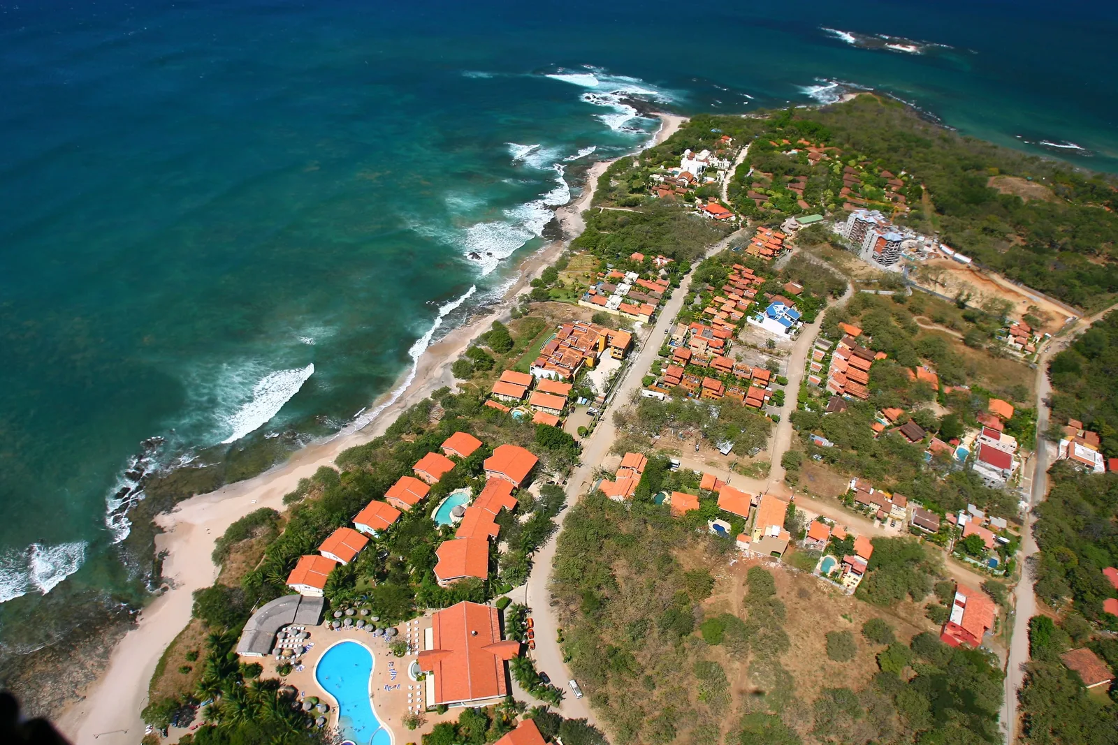
Tamarindo sits on the Pacific edge of the Nicoya Peninsula, in Guanacaste, the dry northwest of Costa Rica. Its beach curves north to the mouth of a mangrove estuary; across the water lies Playa Grande, and past the rocks to the south, Playa Langosta. Once a small fishing village, Tamarindo grew into one of the country’s best-known surf towns, yet its days are still measured by the ocean — the tide, the swell, the light at the end of the afternoon. Much of the coast around it is protected as Las Baulas National Marine Park.
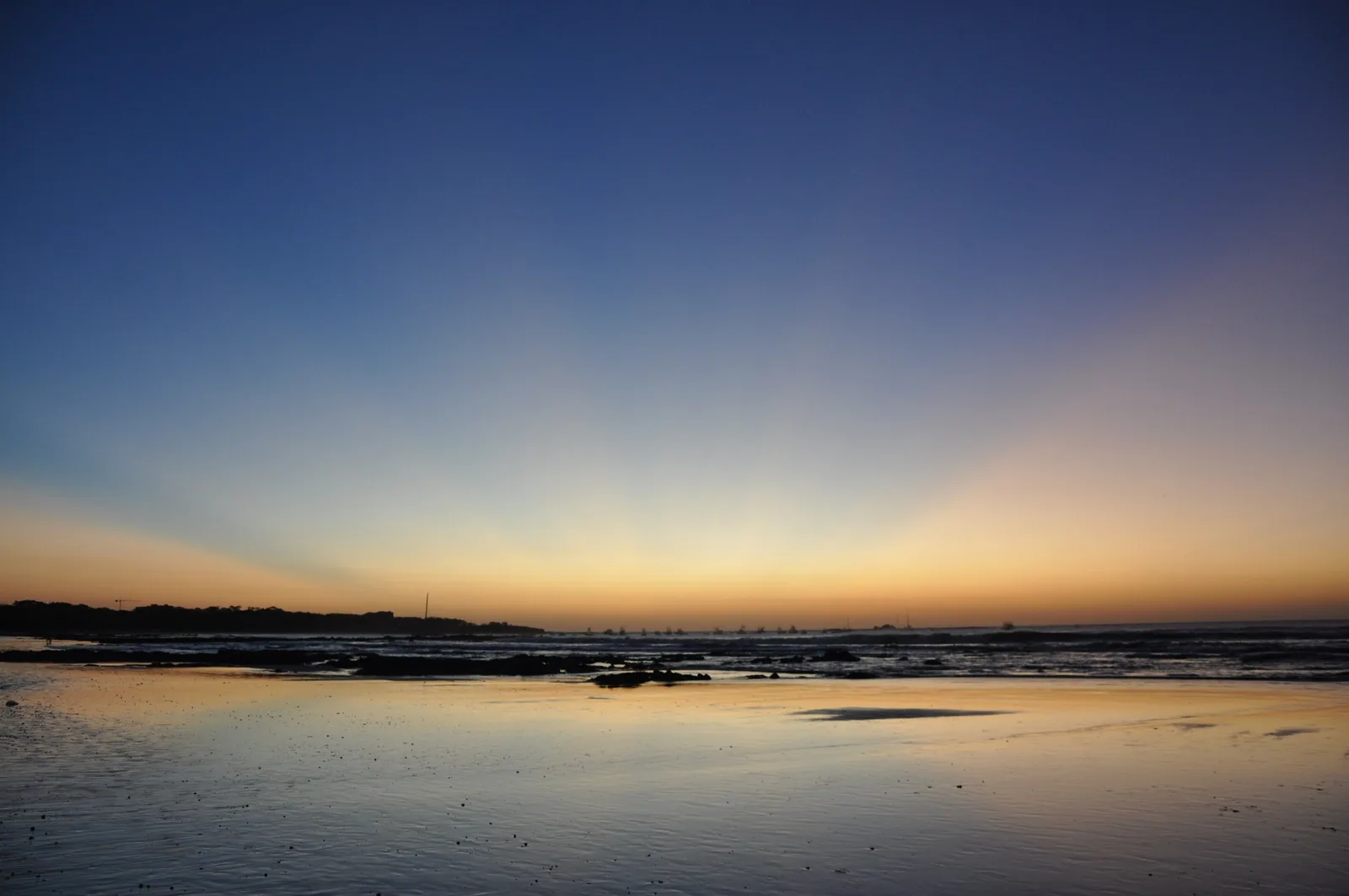
A coastal district of the canton of Santa Cruz, in the province of Guanacaste. The town faces west over Tamarindo Bay, so the sun goes down over open water, behind the small silhouette of Isla Capitán just offshore.
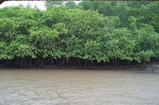
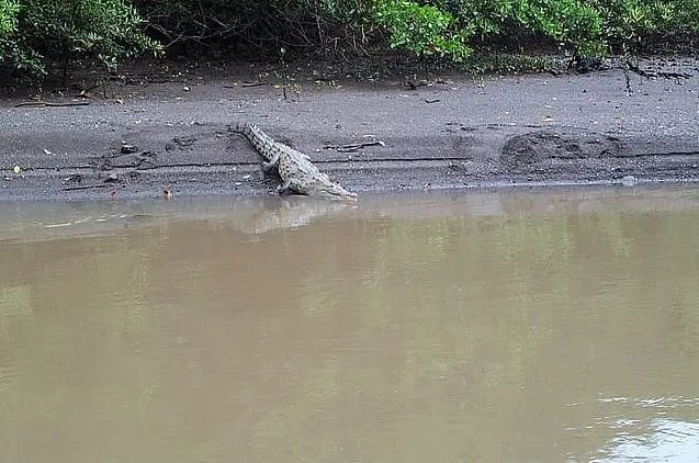
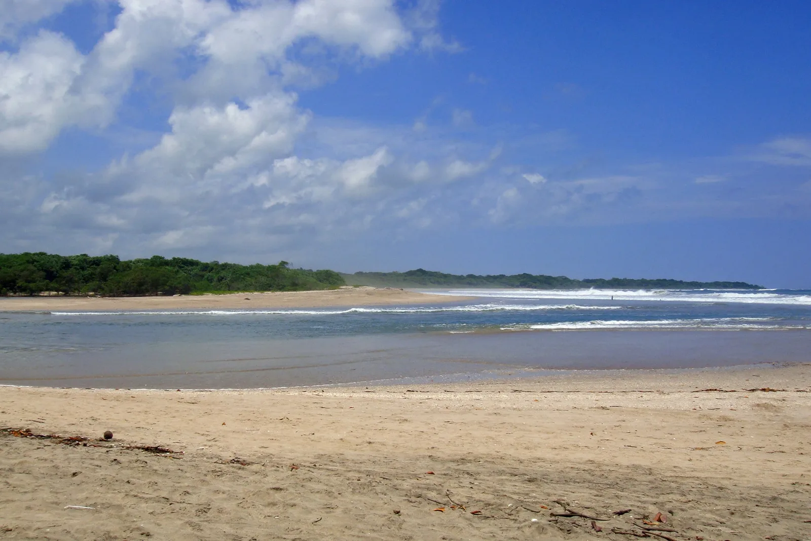
At the north end of the beach, the Tamarindo estuary winds through mangroves where herons feed and crocodiles rest on the banks. The estuary, Playa Grande and Playa Langosta belong to Las Baulas National Marine Park, created to protect nesting beaches of the leatherback turtle — la baula.
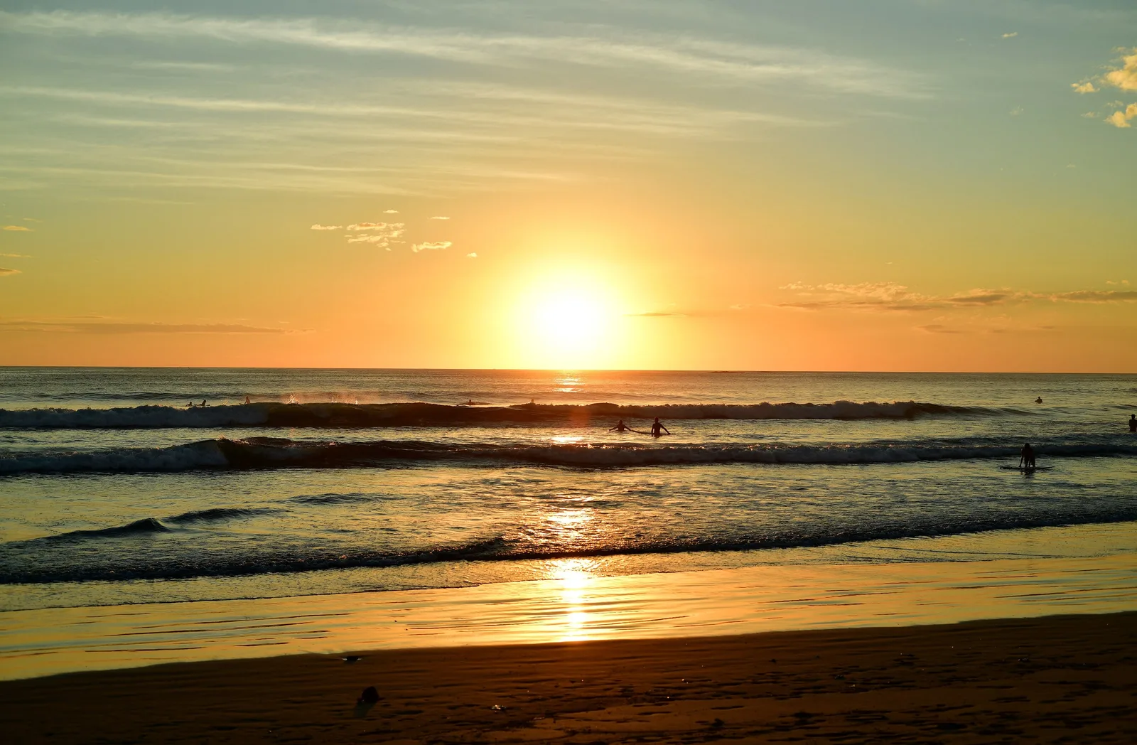
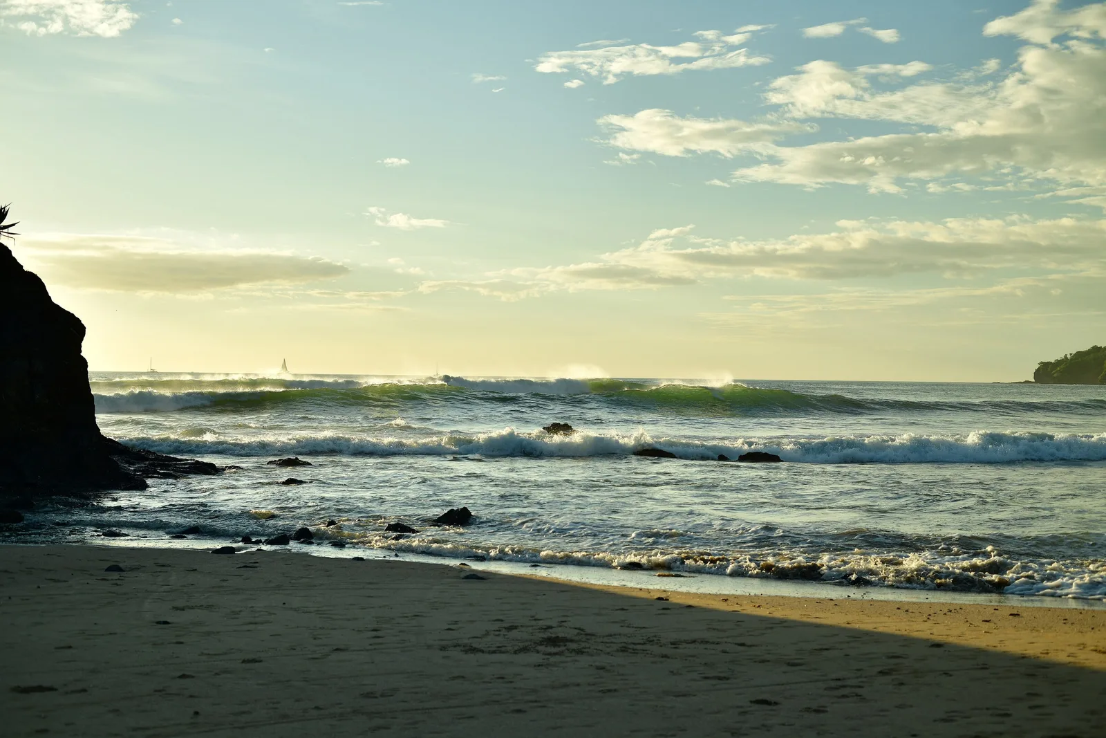
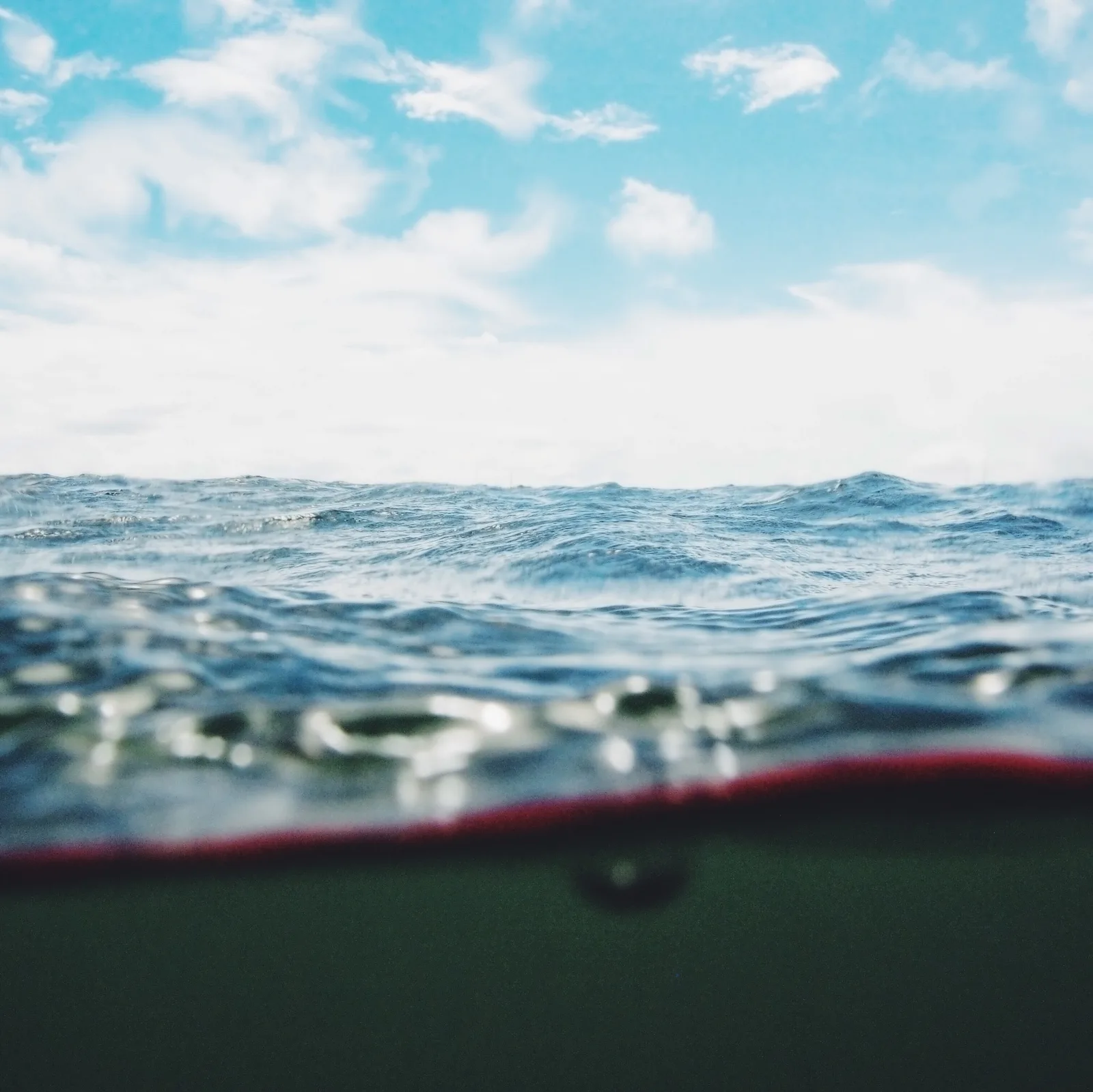
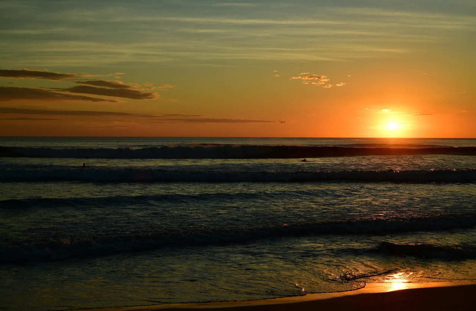
Mornings belong to the surfers; Tamarindo’s gentle waves have taught many people to stand on a board for the first time. Afternoons slow down in the heat. At sunset the town drifts toward the sand to watch the light fall into the Pacific — its most faithful ritual.
Some places stay with you.